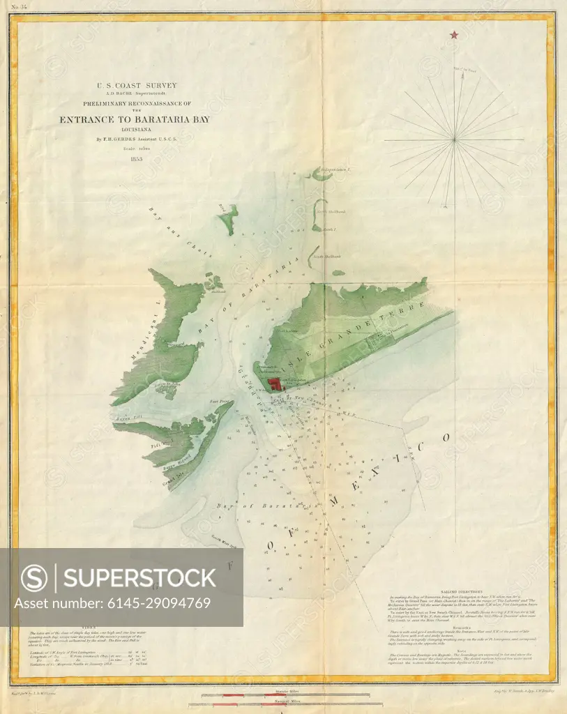
1853 U.S. Coast Survey Map or Chart of Bartaria Bay, Louisiana
SuperStock offers millions of photos, videos, and stock assets to creatives around the world. This image of Explore Historical Navigation: Detailed 1863 Nautical Chart of Barnstable Bay Entrance by U.S. Coast Survey by Piemags/PL Photography Limited is available for licensing today.
DETAILS
Image Number: 6145-29094769Royalty FreeCredit Line:Piemags/PL Photography Limited/SuperStockCollection: