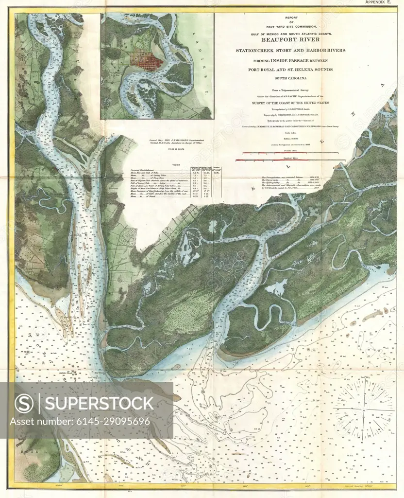
1882 U.S. Coast Survey Map of Beaufort, South Carolina
SuperStock offers millions of photos, videos, and stock assets to creatives around the world. This image of Explore Historic Maps: Detailed Navigation Chart of Beaufort River and Surrounding Areas by Piemags/PL Photography Limited is available for licensing today.
DETAILS
Image Number: 6145-29095696Royalty FreeCredit Line:Piemags/PL Photography Limited/SuperStockCollection: