1866 U.S. Coast Survey Chart or Map of San Francisco Bay
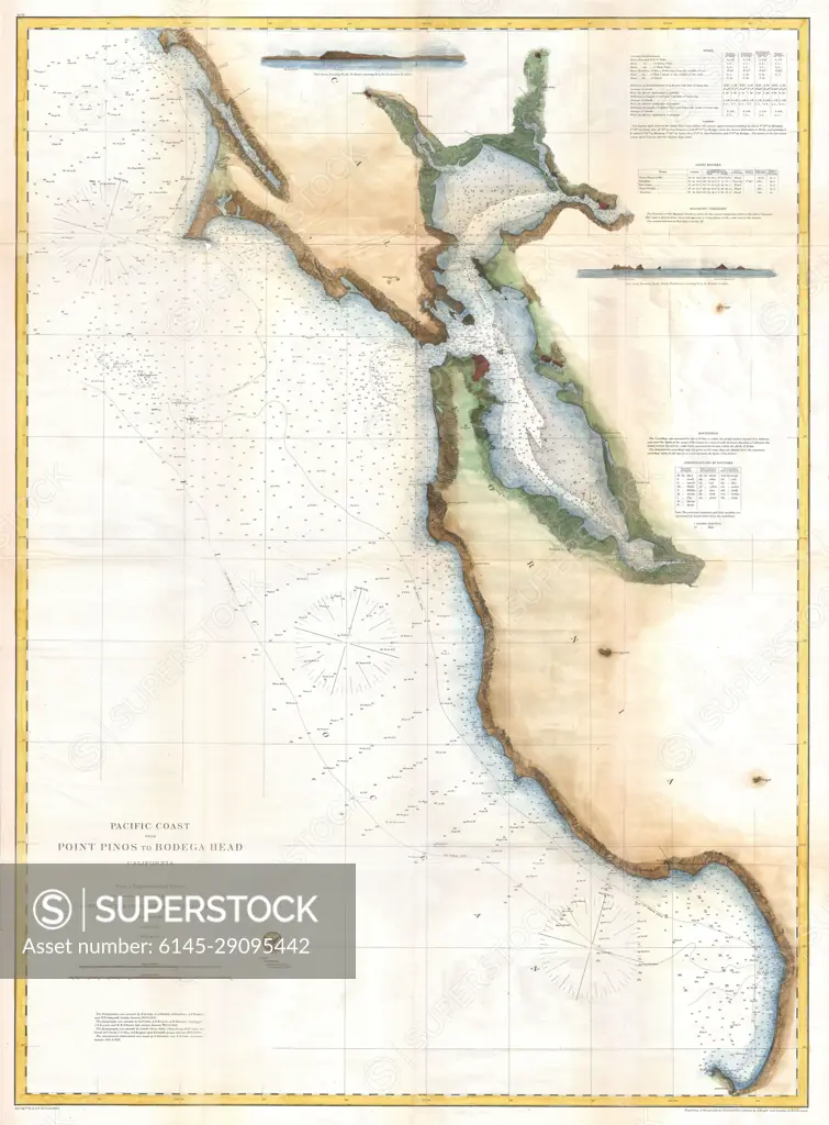
SuperStock offers millions of photos, videos, and stock assets to creatives around the world. This image of Explore Historic Maps: Antique Chart of San Francisco Bay Area - Maritime Navigation and Coastal Features by Piemags/PL Photography Limited is available for licensing today.
Looking for a license?
Click here, and we'll help you find it! Questions? Just ask!
Click here, and we'll help you find it! Questions? Just ask!
DETAILS
Image Number: 6145-29095442Royalty FreeCredit Line:Piemags/PL Photography Limited/SuperStockCollection: