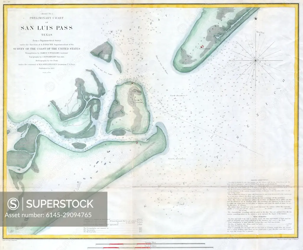
1853 U.S.C.S. Coast Chart or Map of San Luis Pass, Texas
SuperStock offers millions of photos, videos, and stock assets to creatives around the world. This image of Explore Historic Navigation: Antique Nautical Map of San Luis Pass, Texas – A Glimpse Into 19th Century Maritime Travel. by Piemags/PL Photography Limited is available for licensing today.
DETAILS
Image Number: 6145-29094765Royalty FreeCredit Line:Piemags/PL Photography Limited/SuperStockCollection: