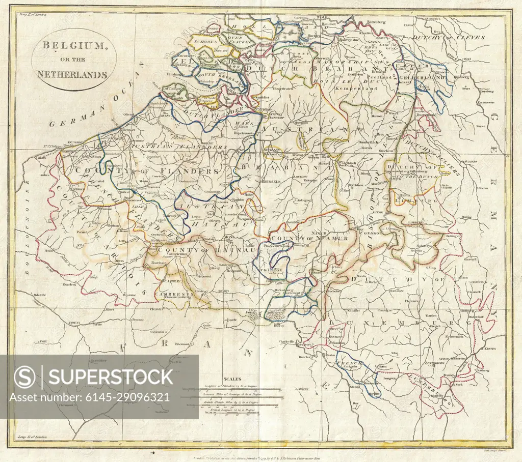
1799 Clement Cruttwell Map of Belgium or the Netherlands
SuperStock offers millions of photos, videos, and stock assets to creatives around the world. This image of Antique Map of Belgium and the Netherlands: Exploring 19th Century Geography and Borders by Piemags/PL Photography Limited is available for licensing today.
DETAILS
Image Number: 6145-29096321Royalty FreeCredit Line:Piemags/PL Photography Limited/SuperStockCollection: