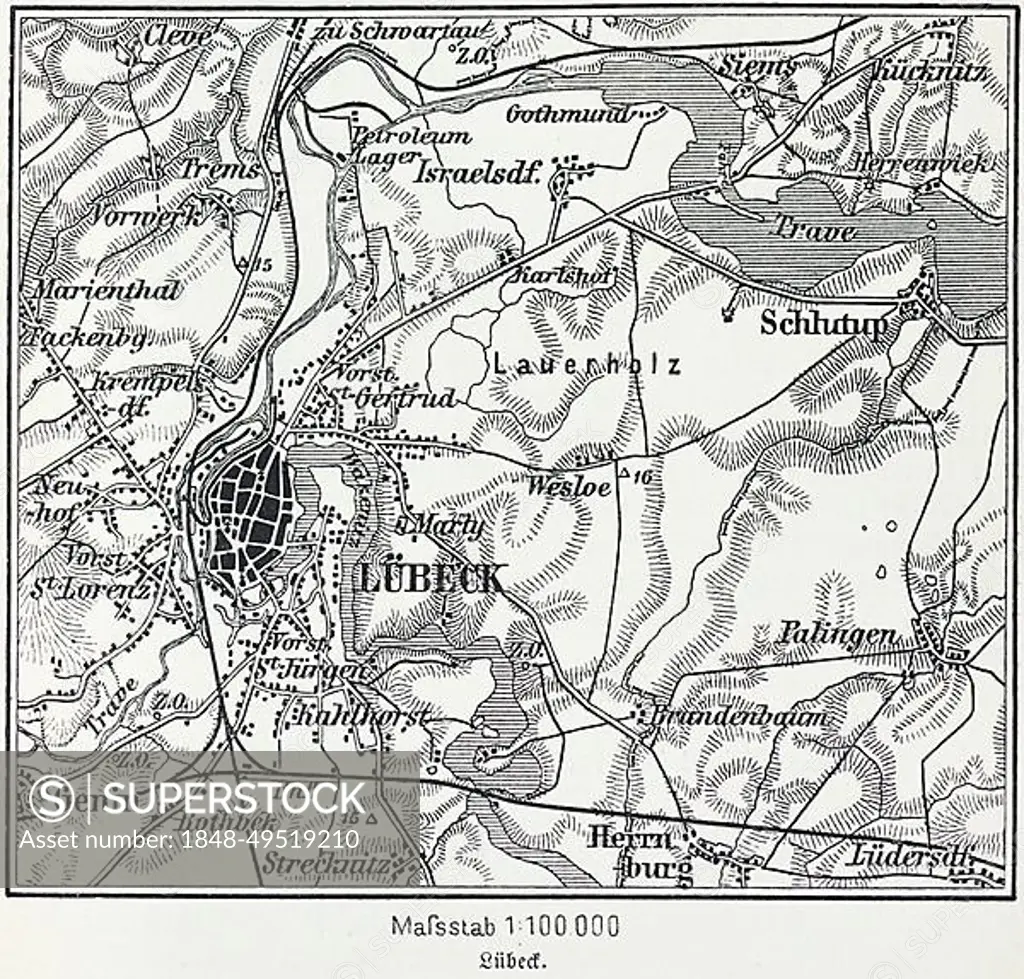
City map of Luebeck, Hanseatic city, Schleswig-Holstein, Germany, Trave, Baltic Sea, districts, Schlutup, St. Lorenz, map, cartography, railway lines, surrounding area, historical illustration 19th century, Europe
SuperStock offers millions of photos, videos, and stock assets to creatives around the world. This image of City map of Luebeck, Hanseatic city, Schleswig-Holstein, Germany, Trave, Baltic Sea, districts, Schlutup, St. Lorenz, map, cartography, railway lines, surrounding area, historical illustration 19th century, Europe by Wolfgang Diederich/imageBROKER is available for licensing today.
Looking for a license?
Click here, and we'll help you find it! Questions? Just ask!
Click here, and we'll help you find it! Questions? Just ask!
DETAILS
Image Number: 1848-49519210Rights ManagedCredit Line:Wolfgang Diederich/imageBROKER/SuperStockCollection:imageBROKER Contributor:Wolfgang Diederich Model Release:NoProperty Release:NoResolution:4806×4600