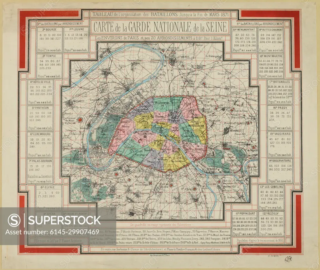
Chart of the organization of battalions until the end of March 1871 / Map of the National Guard of the Seine / The vicinity of Paris and its 20 districts. (IT)
SuperStock offers millions of photos, videos, and stock assets to creatives around the world. This image of Chart of the organization of battalions until the end of March 1871 / Map of the National Guard of the Seine / The vicinity of Paris and its 20 districts. (IT) by Piemags/PL Photography Limited is available for licensing today.
Looking for a license?
Click here, and we'll help you find it! Questions? Just ask!
Click here, and we'll help you find it! Questions? Just ask!
DETAILS
Image Number: 6145-29907469Royalty FreeCredit Line:Piemags/PL Photography Limited/SuperStockCollection:PL Photography Limited Contributor:Piemags Model Release:NoProperty Release:NoResolution:4233×3583