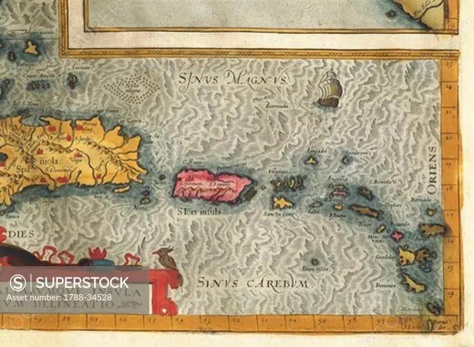
Cartography, 16th century. Map of the Island of Hispaniola (Santo Domingo), Puerto Rico and part of the Antilles. From Abraham Ortelius (1528-1598), Theatrum Orbis Terrarum, 1570.
SuperStock offers millions of photos, videos, and stock assets to creatives around the world. This image of Cartography, 16th century. Map of the Island of Hispaniola (Santo Domingo), Puerto Rico and part of the Antilles. From Abraham Ortelius (1528-1598), Theatrum Orbis Terrarum, 1570. by DeAgostini is available for licensing today.
DETAILS
Image Number: 1788-34528Rights ManagedCredit Line:DeAgostini/SuperStockCollection:DeAgostini Model Release:YesProperty Release:NoResolution:5352×3936