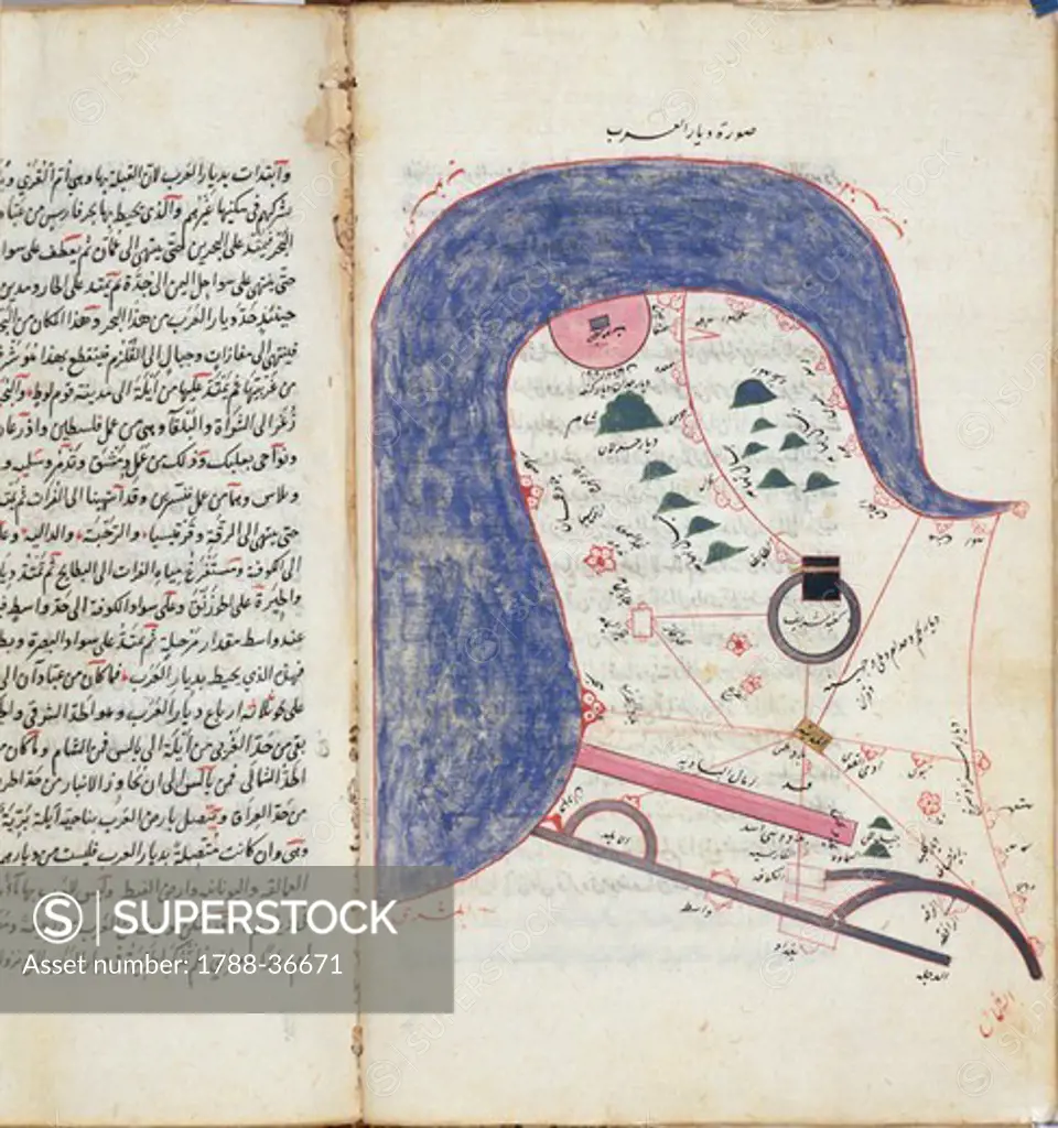
Cartography, 12th century. Map of Arabia, from al-Kitab wa-al Masalik mamalik (Road and provinces atlas) by Abu Ishaq Ibrahim ibn Muhammad al-Faris al-istakhri, 1193. Paper, 27.5 x 17.7 cm.
SuperStock offers millions of photos, videos, and stock assets to creatives around the world. This image of Cartography, 12th century. Map of Arabia, from al-Kitab wa-al Masalik mamalik (Road and provinces atlas) by Abu Ishaq Ibrahim ibn Muhammad al-Faris al-istakhri, 1193. Paper, 27.5 x 17.7 cm. by DeAgostini is available for licensing today.
DETAILS
Image Number: 1788-36671Rights ManagedCredit Line:DeAgostini/SuperStockCollection:DeAgostini Contributor:DeAgostini Model Release:NoProperty Release:NoResolution:4482×4776
Free Research
Can't find the usage you need?
We're here to help!
Phone:+1 866 236 0087
Email: help@superstock.com
or fill out a Contact Form
Research / License Request Form
Can't find the usage you need?
We're here to help!
Phone:
or fill out a Contact Form
Research / License Request Form
Retouching Services
Our MediaMagnet division offers comprehensive retouching services at great rates. For a free quote, please send us an e-mail and we'll get back to you promptly.
Email: Retouching Service
Our MediaMagnet division offers comprehensive retouching services at great rates. For a free quote, please send us an e-mail and we'll get back to you promptly.
Email: Retouching Service