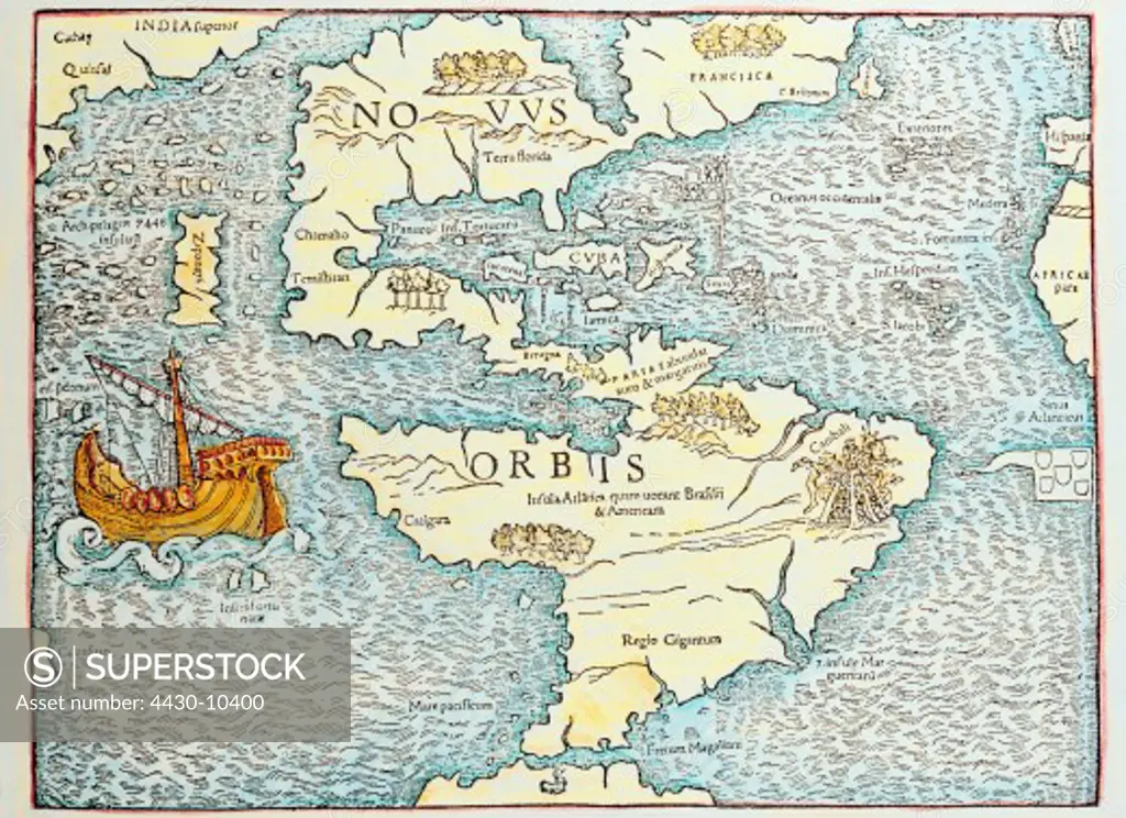
cartography maps South and North America Atlantic Pacific ocean map 16th century ship Caribean geography,
SuperStock offers millions of photos, videos, and stock assets to creatives around the world. This image of cartography maps South and North America Atlantic Pacific ocean map 16th century ship Caribean geography, by Interfoto is available for licensing today.
Looking for a license?
Click here, and we'll help you find it! Questions? Just ask!
Click here, and we'll help you find it! Questions? Just ask!
DETAILS
Image Number: 4430-10400Rights ManagedCredit Line:Interfoto/SuperStockCollection:Interfoto Model Release:NoProperty Release:NoResolution:6282×4575