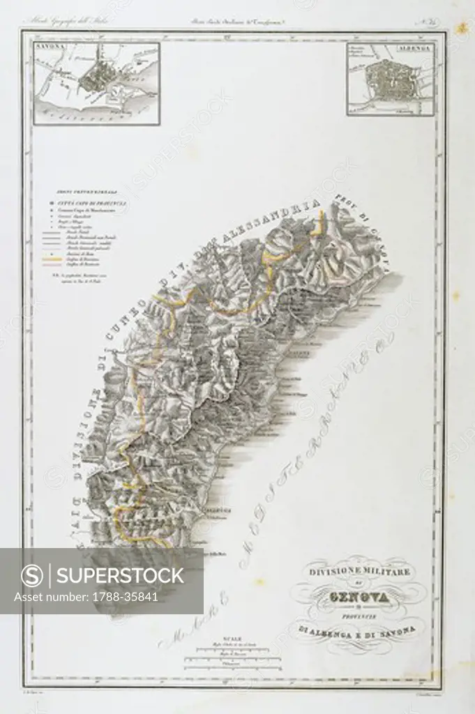
Cartography, Italy, 19th century. Military division of Genoa, Provinces of Albenga and Savona, map of Savona and Albenga. Map by Attilio Zuccagni-Orlandini, taken from the Geographic Atlas of Italian States, Florence 1836-1845. Engraving on Copper.
SuperStock offers millions of photos, videos, and stock assets to creatives around the world. This image of Cartography, Italy, 19th century. Military division of Genoa, Provinces of Albenga and Savona, map of Savona and Albenga. Map by Attilio Zuccagni-Orlandini, taken from the Geographic Atlas of Italian States, Florence 1836-1845. Engraving on Copper. by DeAgostini is available for licensing today.
Looking for a license?
Click here, and we'll help you find it! Questions? Just ask!
Click here, and we'll help you find it! Questions? Just ask!
DETAILS
Image Number: 1788-35841Rights ManagedCredit Line:DeAgostini/SuperStockCollection:DeAgostini Model Release:NoProperty Release:NoResolution:3719×5592