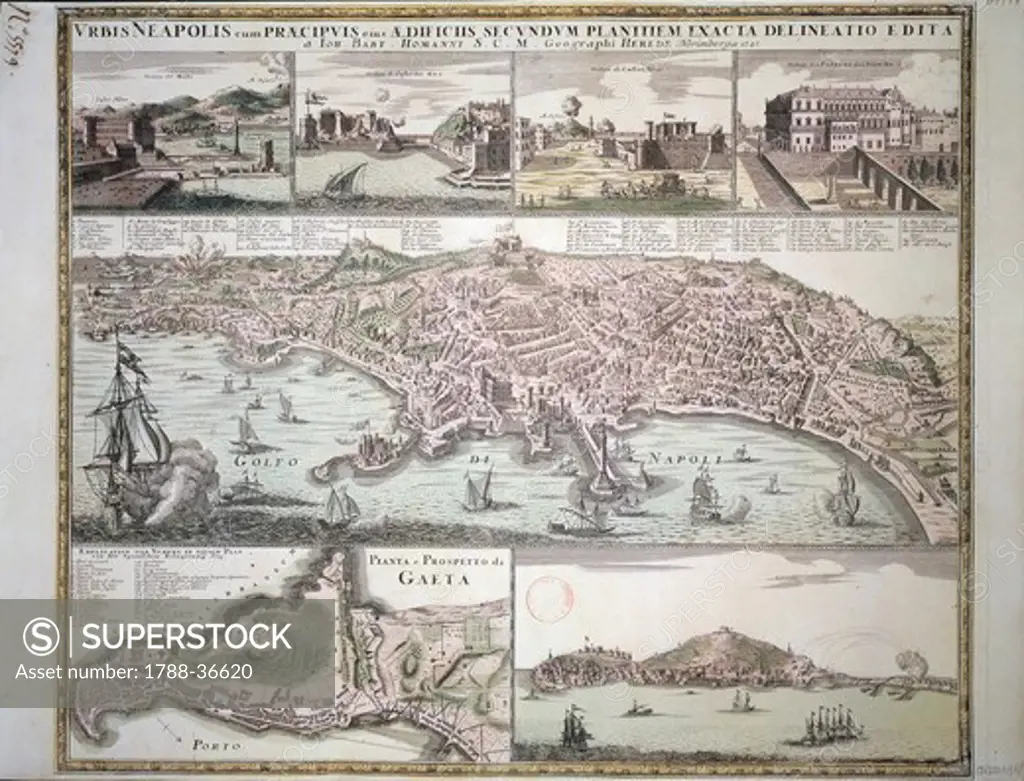
Cartography, Italy, 18th century. Map of Naples and its main buildings, map of Gaeta, by Christoph Homann, Nuremberg 1727. Copperplate 49.5 x 65 cm.
SuperStock offers millions of photos, videos, and stock assets to creatives around the world. This image of Cartography, Italy, 18th century. Map of Naples and its main buildings, map of Gaeta, by Christoph Homann, Nuremberg 1727. Copperplate 49.5 x 65 cm. by DeAgostini is available for licensing today.
Looking for a license?
Click here, and we'll help you find it! Questions? Just ask!
Click here, and we'll help you find it! Questions? Just ask!
DETAILS
Image Number: 1788-36620Rights ManagedCredit Line:DeAgostini/SuperStockCollection:DeAgostini Model Release:NoProperty Release:NoResolution:3543×2707