1765 Bonne Map of West Africa, the Gulf of Guinea, and Benin
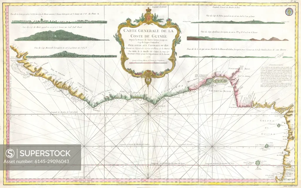
SuperStock offers millions of photos, videos, and stock assets to creatives around the world. This image of Explore Historic Cartography: Antique Map of the Guinea Coast – Discover Maritime Navigation and Coastal Geography from the 18th Century. by Piemags/PL Photography Limited is available for licensing today.
DETAILS
Image Number: 6145-29096043Royalty FreeCredit Line:Piemags/PL Photography Limited/SuperStockCollection: