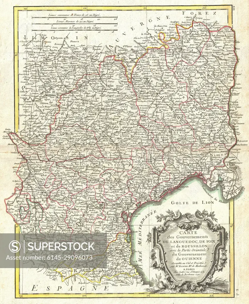
1771 Bonne Map of Languedoc and Roussillon, France
SuperStock offers millions of photos, videos, and stock assets to creatives around the world. This image of 18th Century Map of Southern France: Historical Cartography and Geography Insights by Piemags/PL Photography Limited is available for licensing today.
DETAILS
Image Number: 6145-29096073Royalty FreeCredit Line:Piemags/PL Photography Limited/SuperStockCollection: