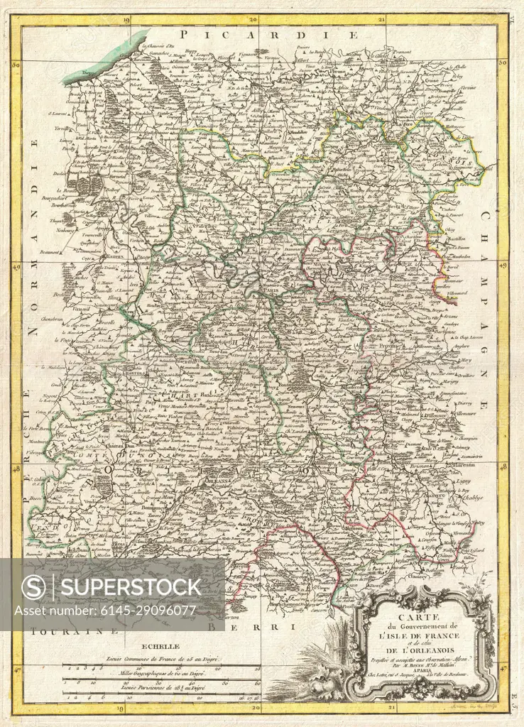
1771 Bonne Map of Isle de France (vicinity of Paris), France
SuperStock offers millions of photos, videos, and stock assets to creatives around the world. This image of Explore Historical French Cartography: Antique Map of Lorraine Region - 18th Century by Piemags/PL Photography Limited is available for licensing today.
Looking for a license?
Click here, and we'll help you find it! Questions? Just ask!
Click here, and we'll help you find it! Questions? Just ask!
DETAILS
Image Number: 6145-29096077Royalty FreeCredit Line:Piemags/PL Photography Limited/SuperStockCollection: