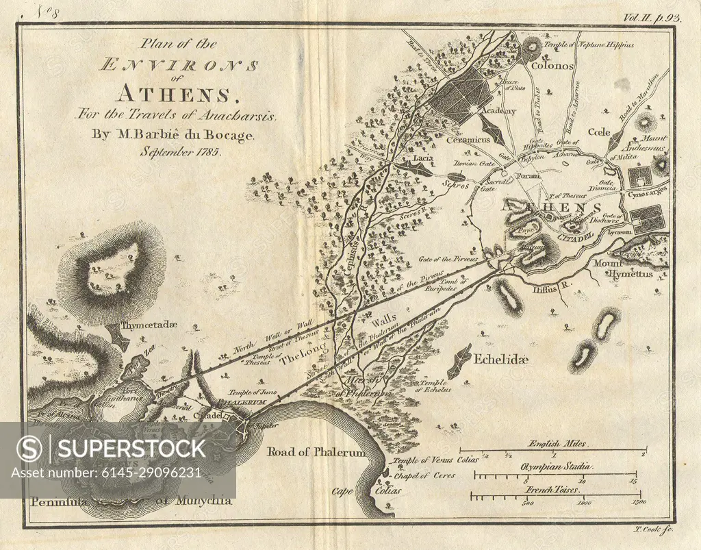
1785 Bocage Map of Athens and Environs, including Piraeus, in Ancient Greece
SuperStock offers millions of photos, videos, and stock assets to creatives around the world. This image of Explore Historic Athens: Detailed 19th Century Map Showcasing Landmarks and Geography of Ancient Greece. by Piemags/PL Photography Limited is available for licensing today.
DETAILS
Image Number: 6145-29096231Royalty FreeCredit Line:Piemags/PL Photography Limited/SuperStockCollection: