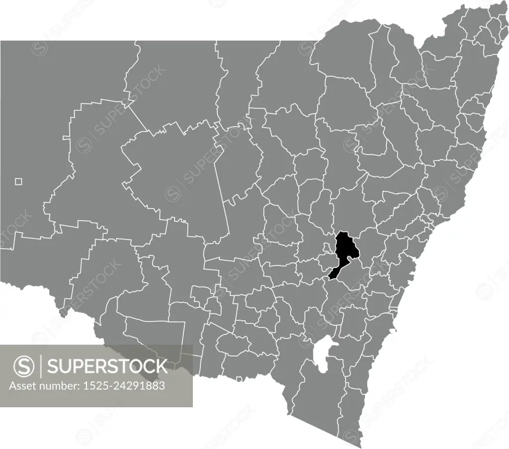
Black flat blank highlighted location map of the BATHURST REGIONAL AREA inside gray administrative map of districts of Australian state of New South Wales, Australia
SuperStock offers millions of photos, videos, and stock assets to creatives around the world. This image of Black flat blank highlighted location map of the BATHURST REGIONAL AREA inside gray administrative map of districts of Australian state of New South Wales, Australia by Isignstock Contributors/Ingram Publishing is available for licensing today.
Looking for a license?
Click here, and we'll help you find it! Questions? Just ask!
Click here, and we'll help you find it! Questions? Just ask!
DETAILS
Image Number: 1525-24291883Royalty FreeCredit Line:Isignstock Contributors/Ingram Publishing/SuperStockCollection:Ingram Publishing Contributor:Isignstock Contributors Model Release:NoProperty Release:NoType:Vector Image