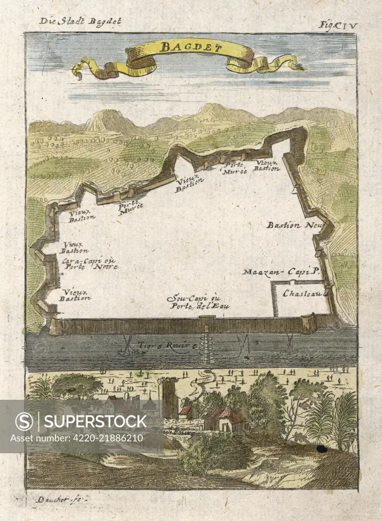
Baghdad: plan of the city walls, with the River Tigris in front Date: 1719
SuperStock offers millions of photos, videos, and stock assets to creatives around the world. This image of Explore Historic Baghdad: An Intriguing 17th-Century Map Illustration of the City’s Ancient Landscape by Mary Evans Picture Library/Pantheon is available for licensing today.
Looking for a license?
Click here, and we'll help you find it! Questions? Just ask!
Click here, and we'll help you find it! Questions? Just ask!
DETAILS
Image Number: 4220-21886210Rights ManagedCredit Line:Mary Evans Picture Library/Pantheon/SuperStockCollection:Mary Evans Picture Library Model Release:NoProperty Release:NoResolution:2952×4022