1745 Anson Map or Chart of Zihuatanejo Harbor, Mexico
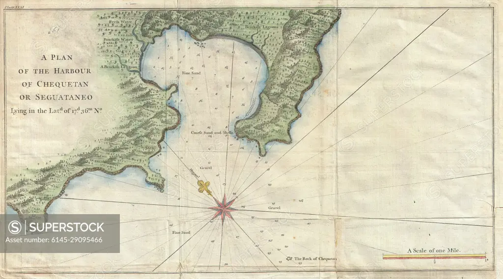
SuperStock offers millions of photos, videos, and stock assets to creatives around the world. This image of Explore the Historical Map of Choctum or Seguataneo: A Detailed 18th Century Nautical Chart by Piemags/PL Photography Limited is available for licensing today.
Looking for a license?
Click here, and we'll help you find it! Questions? Just ask!
Click here, and we'll help you find it! Questions? Just ask!
DETAILS
Image Number: 6145-29095466Royalty FreeCredit Line:Piemags/PL Photography Limited/SuperStockCollection:PL Photography Limited Contributor:Piemags Model Release:NoProperty Release:NoResolution:5000×2776