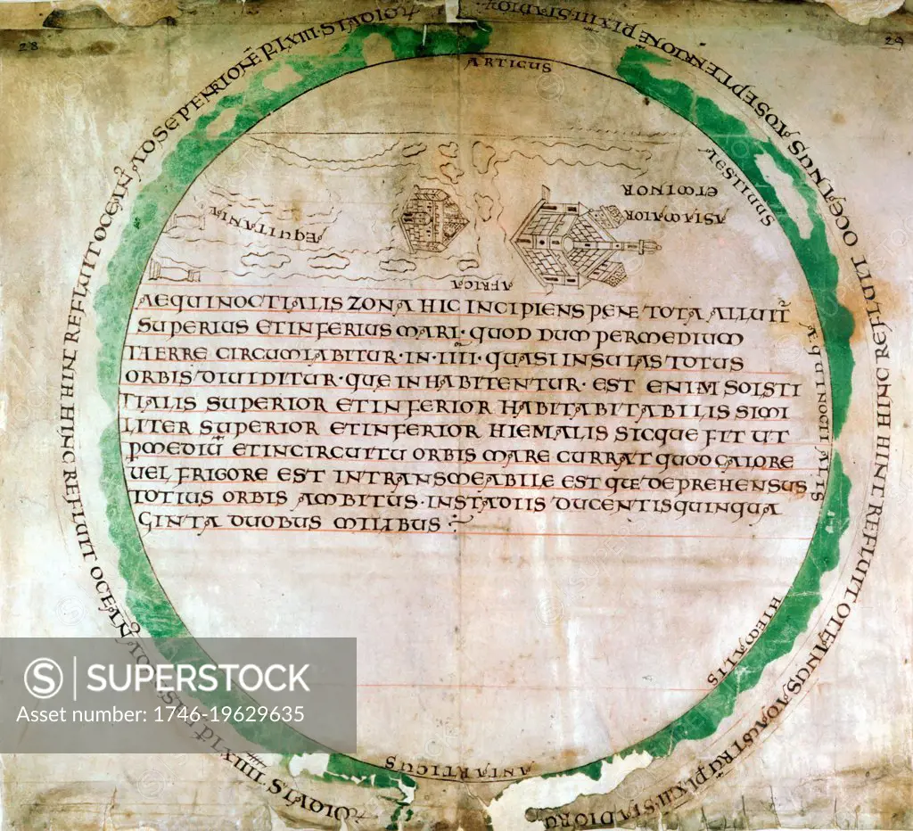
Anglo-Saxon map of 900s showing a flat earth and the ocean that was thought to surround it. British Museum
SuperStock offers millions of photos, videos, and stock assets to creatives around the world. This image of Anglo-Saxon map of 900s showing a flat earth and the ocean that was thought to surround it. British Museum by World History Archive/Image Asset Management is available for licensing today.
Looking for a license?
Click here, and we'll help you find it! Questions? Just ask!
Click here, and we'll help you find it! Questions? Just ask!
DETAILS
Image Number: 1746-19629635Rights ManagedCredit Line:World History Archive/Image Asset Management/SuperStockCollection:Image Asset Management Contributor:World History Archive Model Release:NoProperty Release:NoResolution:4500×4098