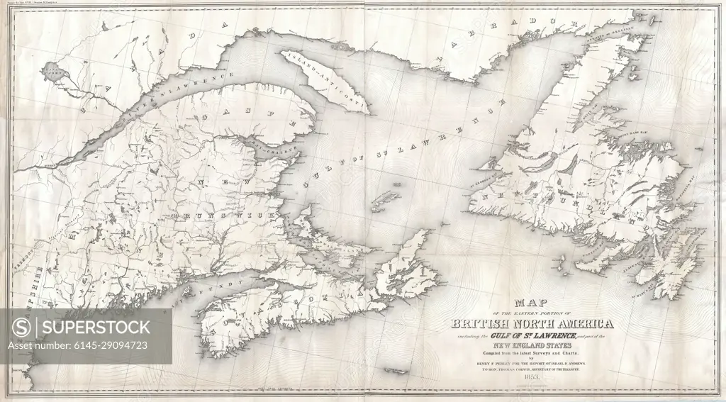
1853 Andrews Map of the Maritime Provinces, New Brunswick, Nova Scotia, Newfoundland
SuperStock offers millions of photos, videos, and stock assets to creatives around the world. This image of Explore Historical Cartography: Detailed 1856 Map of British North America and the Gulf of St. Lawrence by Piemags/PL Photography Limited is available for licensing today.
DETAILS
Image Number: 6145-29094723Royalty FreeCredit Line:Piemags/PL Photography Limited/SuperStockCollection: