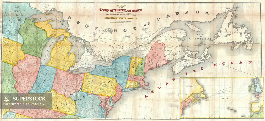
1853 Andrews Map of the Great Lakes and St. Lawrence Basin
SuperStock offers millions of photos, videos, and stock assets to creatives around the world. This image of Explore Historical Map of River St. Lawrence and Great Lakes: Vintage North America Geography by Piemags/PL Photography Limited is available for licensing today.
Looking for a license?
Click here, and we'll help you find it! Questions? Just ask!
Click here, and we'll help you find it! Questions? Just ask!
DETAILS
Image Number: 6145-29094717Royalty FreeCredit Line:Piemags/PL Photography Limited/SuperStockCollection:PL Photography Limited Contributor:Piemags Model Release:NoProperty Release:NoResolution:7000×3214