Allied offensive progress map of Fall 1918 in Vincennes, Seine, France. Photo taken by Cpl. Behrens, S. C. on 3-27-19. This photo was assigned description issued number 2-24-19 and shows the general progress made by the Allied forces during the offensive. Notes indicate the presence of 20 notable points on the map.
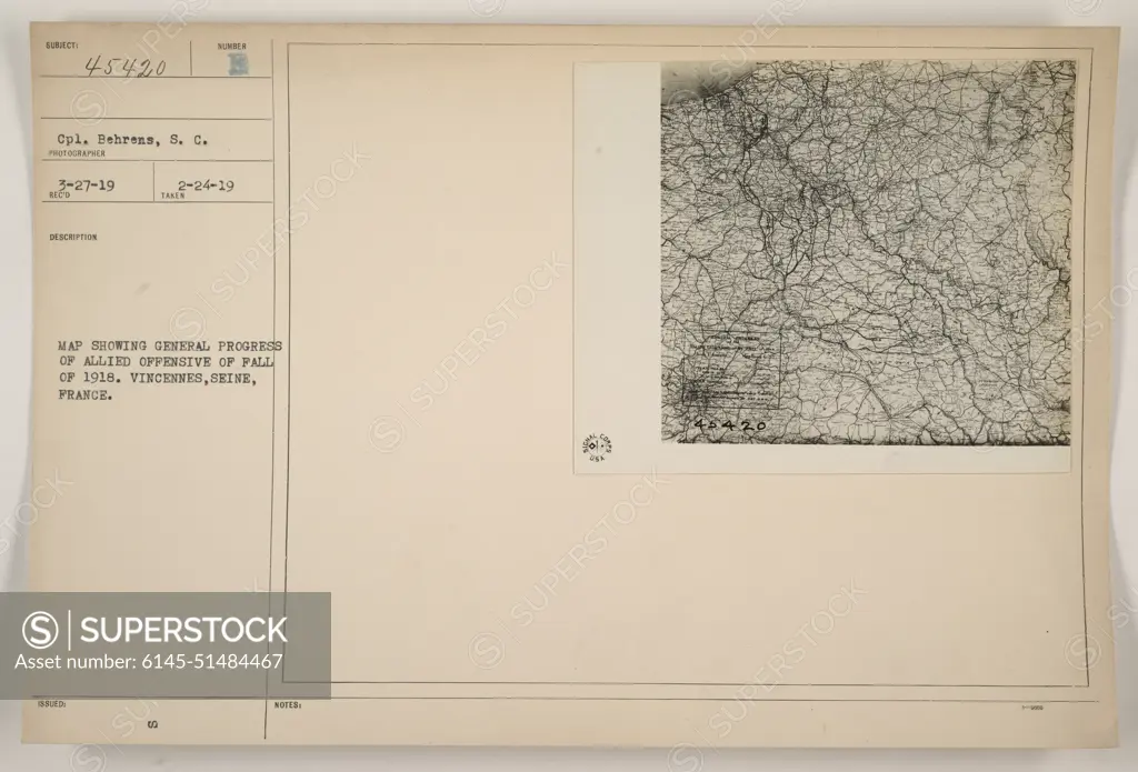
SuperStock offers millions of photos, videos, and stock assets to creatives around the world. This image of Allied offensive progress map of Fall 1918 in Vincennes, Seine, France. Photo taken by Cpl. Behrens, S. C. on 3-27-19. This photo was assigned description issued number 2-24-19 and shows the general progress made by the Allied forces during the offensive. Notes indicate the presence of 20 notable points on the map. by PL Photography Limited is available for licensing today.
Looking for a license?
Click here, and we'll help you find it! Questions? Just ask!
Click here, and we'll help you find it! Questions? Just ask!
DETAILS
Image Number: 6145-51484467Royalty FreeCredit Line:PL Photography Limited/SuperStockCollection:PL Photography Limited Model Release:NoProperty Release:NoResolution:8542×5802