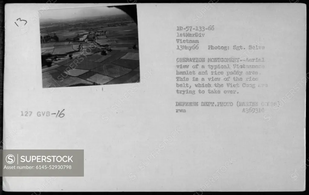
Aerial view of a Vietnamese hamlet and rice paddy area taken during Operation Montgomery on May 13, 1966. The image shows the rice belt, an area targeted by the Viet Cong for takeover. Photographed by Sgt. Salve from the 1st Marine Division. This is a Defense Department photo (Marine Corps) with the identification number A369310.
SuperStock offers millions of photos, videos, and stock assets to creatives around the world. This image of Aerial view of a Vietnamese hamlet and rice paddy area taken during Operation Montgomery on May 13, 1966. The image shows the rice belt, an area targeted by the Viet Cong for takeover. Photographed by Sgt. Salve from the 1st Marine Division. This is a Defense Department photo (Marine Corps) with the identification number A369310. by PL Photography Limited is available for licensing today.
Looking for a license?
Click here, and we'll help you find it! Questions? Just ask!
Click here, and we'll help you find it! Questions? Just ask!
DETAILS
Image Number: 6145-52930798Royalty FreeCredit Line:PL Photography Limited/SuperStockCollection:PL Photography Limited Model Release:NoProperty Release:NoResolution:3300×2087