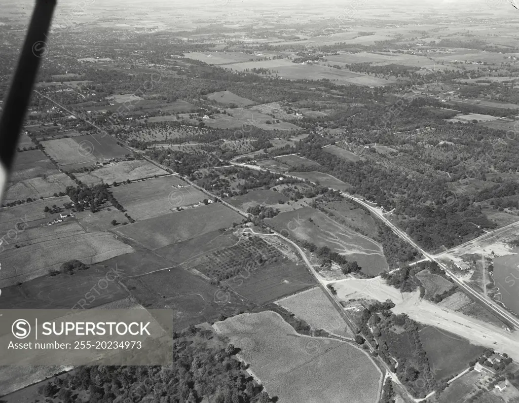
Aerial view of Richmond, Indiana. Rebuilding of Route 40 to correct a "killer intersection" with US 35. In middle distance is a section of land belonging to SW Hayes and is an Arboretum of some note
SuperStock offers millions of photos, videos, and stock assets to creatives around the world. This image of Aerial View of Lush Farmland and Winding Roads Captured from a Plane - Exploring Rural Landscapes from Above by Devaney-SuperStock/Devaney Collection is available for licensing today.
Looking for a license?
Click here, and we'll help you find it! Questions? Just ask!
Click here, and we'll help you find it! Questions? Just ask!
DETAILS
Image Number: 255-20234973Rights ManagedCredit Line:Devaney-SuperStock/Devaney Collection/SuperStockCollection:Devaney Collection Contributor:Devaney-SuperStock Model Release:NoProperty Release:NoResolution:9500×7376