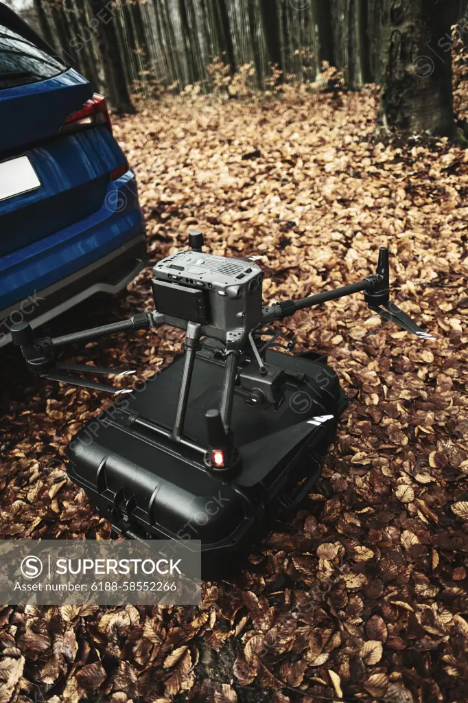
Aerial view of a drone moderning over forest, monitoring and analyzing in forestry management. Dron mapping forest after natural disaster assessing damage. Aerial view of a drone moderning over forest, monitoring and analyzing in the forestry management. Dron mapping forest after natural disaster assessing damage. model released
SuperStock offers millions of photos, videos, and stock assets to creatives around the world. This image of Aerial view of a drone moderning over forest, monitoring and analyzing in forestry management. Dron mapping forest after natural disaster assessing damage. Aerial view of a drone moderning over forest, monitoring and analyzing in the forestry management. Dron mapping forest after natural disaster assessing damage. model released by IMAGO/HalfPoint Images is available for licensing today.
Looking for a license?
Click here, and we'll help you find it! Questions? Just ask!
Click here, and we'll help you find it! Questions? Just ask!
DETAILS
Image Number: 6188-58552266Royalty FreeCredit Line:IMAGO/HalfPoint Images/SuperStockCollection:Imago Contributor:IMAGO/HalfPoint Images Model Release:YesProperty Release:NoResolution:3265×4898