Admiralty Chart No 2718b Mediterranean Sea (Italy, Corsica, Greece, Tunisia)
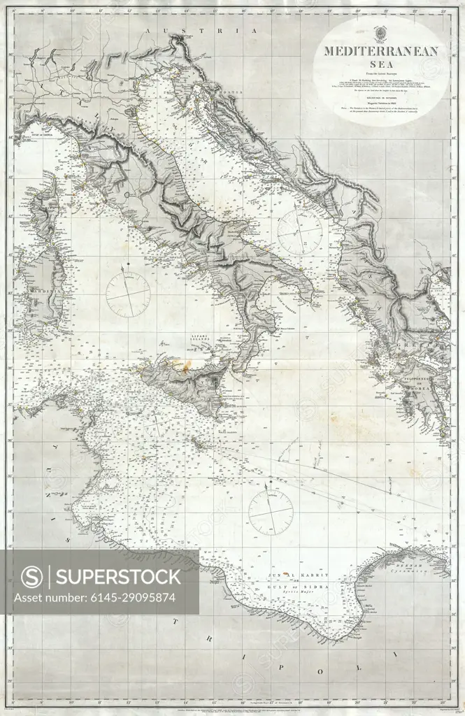
SuperStock offers millions of photos, videos, and stock assets to creatives around the world. This image of Historic Mediterranean Sea Map Showing Detailed Nautical Routes and Coastlines of Italy - Explore Maritime Navigation from a Vintage Perspective. by Piemags/PL Photography Limited is available for licensing today.
Looking for a license?
Click here, and we'll help you find it! Questions? Just ask!
Click here, and we'll help you find it! Questions? Just ask!
DETAILS
Image Number: 6145-29095874Royalty FreeCredit Line:Piemags/PL Photography Limited/SuperStockCollection: