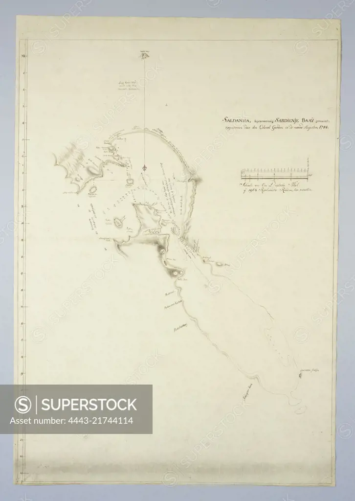
Accessed by means of a guide map, provided with minutes from 33º S to the south, with indications and where known, names of the different areas, Map of Saldanha Bay, with part of the coast., draughtsman: Robert Jacob Gordon, (attributed to), draughtsman: Johannes Schumacher, (possibly), Kaapprovincie, Aug-1784, paper, pen, brush, h 890 mm × w 630 mm
SuperStock offers millions of photos, videos, and stock assets to creatives around the world. This image of Accessed by means of a guide map, provided with minutes from 33º S to the south, with indications and where known, names of the different areas, Map of Saldanha Bay, with part of the coast., draughtsman: Robert Jacob Gordon, (attributed to), draughtsman: Johannes Schumacher, (possibly), Kaapprovincie, Aug-1784, paper, pen, brush, h 890 mm × w 630 mm by Artokoloro is available for licensing today.
Looking for a license?
Click here, and we'll help you find it! Questions? Just ask!
Click here, and we'll help you find it! Questions? Just ask!
DETAILS
Image Number: 4443-21744114Rights ManagedCredit Line:Artokoloro/SuperStockCollection:Artokoloro Model Release:NoProperty Release:NoResolution:2836×4000