SOUTH AMERICA. PERU. 18TH CENTURY. MAP OF THE RADA DE YLO (currently ILO), main port located on the Peruvian coast. Plane of a sugar mill. "RADA DE YLO", at 17.37 southern latitude, on the Pacific coast. French engraving of 1716. Library of Catalonia. Barcelona.
This image has restrictions and cannot be purchased online. Get in touch for more details.
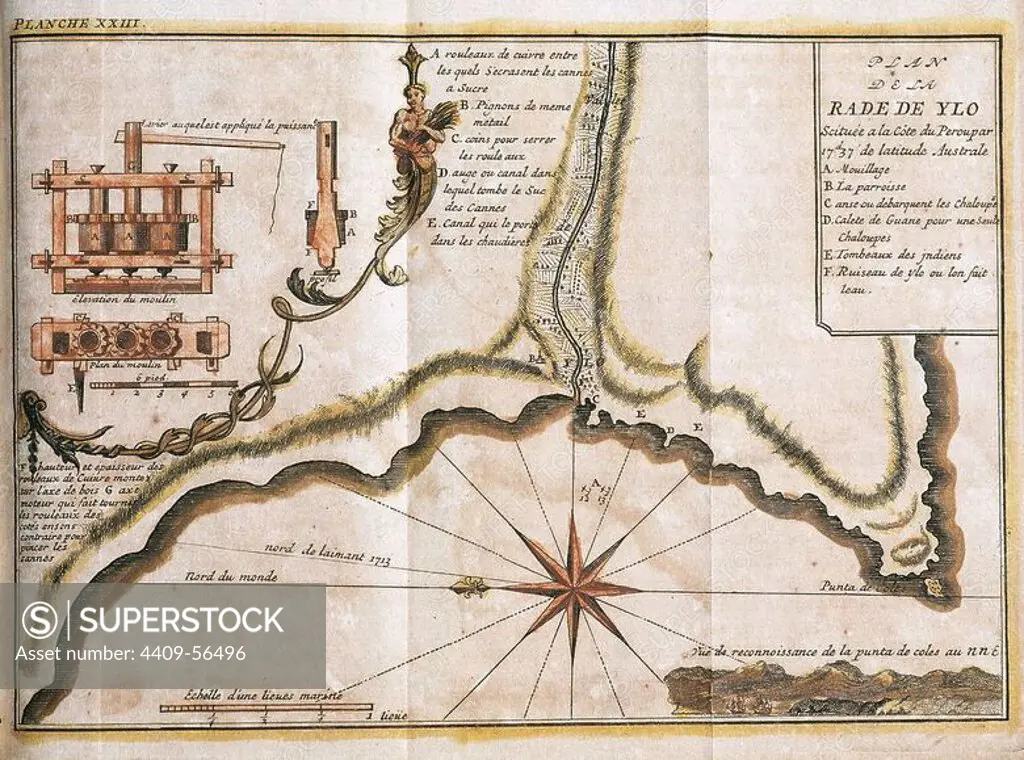
SuperStock offers millions of photos, videos, and stock assets to creatives around the world. This image of SOUTH AMERICA. PERU. 18TH CENTURY. MAP OF THE RADA DE YLO (currently ILO), main port located on the Peruvian coast. Plane of a sugar mill. "RADA DE YLO", at 17.37 southern latitude, on the Pacific coast. French engraving of 1716. Library of Catalonia. Barcelona. by Album / Kurwenal / Prisma/Album Archivo is available for licensing today.
DETAILS
Image Number: 4409-56496Rights ManagedCredit Line:SuperStock / Album / Kurwenal / Prisma/Album ArchivoCollection: Album Archivo Contributor: Album / Kurwenal / Prisma Model Release:NoProperty Release:NoResolution:6201×4603
Free Research
Can't find the usage you need?
We're here to help!
Phone: +1 866 236 0087
Email: help@superstock.com
Research / License Request Form
Can't find the usage you need?
We're here to help!
Phone: +1 866 236 0087
Email: help@superstock.com
Research / License Request Form
Retouching Services
Our MediaMagnet division offers comprehensive retouching services at great rates. For a free quote, please send us an e-mail and we'll get back to you promptly.
Email: Retouching Service
Our MediaMagnet division offers comprehensive retouching services at great rates. For a free quote, please send us an e-mail and we'll get back to you promptly.
Email: Retouching Service