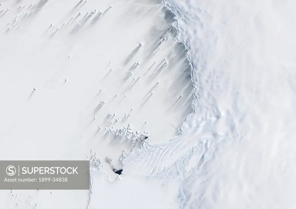
Pine Island Bay, Amundsen Sea, Antarctica, True Colour Satellite Image. True colour satellite of Pine Island Bay in the Amundsen Sea.The blakek mark crossing the image shows the limit between the indlansis of the Wallgreen coast and Pine Island Bay in Amundsen Sea, in the Western part of Antarctica. Image taken on 13 January 2001 using LANDSAT data.
SuperStock offers millions of photos, videos, and stock assets to creatives around the world. This image of Pine Island Bay, Amundsen Sea, Antarctica, True Colour Satellite Image. True colour satellite of Pine Island Bay in the Amundsen Sea.The blakek mark crossing the image shows the limit between the indlansis of the Wallgreen coast and Pine Island Bay in Amundsen Sea, in the Western part of Antarctica. Image taken on 13 January 2001 using LANDSAT data. by Universal Images is available for licensing today.
DETAILS
Image Number: 1899-34838Rights ManagedCredit Line:SuperStock / Universal ImagesCollection: Universal Images Model Release:NoProperty Release:NoResolution:4961×3507
Free Research
Can't find the usage you need?
We're here to help!
Phone: +1 866 236 0087
Email: help@superstock.com
Research / License Request Form
Can't find the usage you need?
We're here to help!
Phone: +1 866 236 0087
Email: help@superstock.com
Research / License Request Form
Retouching Services
Our MediaMagnet division offers comprehensive retouching services at great rates. For a free quote, please send us an e-mail and we'll get back to you promptly.
Email: Retouching Service
Our MediaMagnet division offers comprehensive retouching services at great rates. For a free quote, please send us an e-mail and we'll get back to you promptly.
Email: Retouching Service