Cartography, Italy, 18th century. Topographic map of Porretta County, a Ranuzzi fiefdom, 1720. Mixed media on paper. 60 x 120 cm.
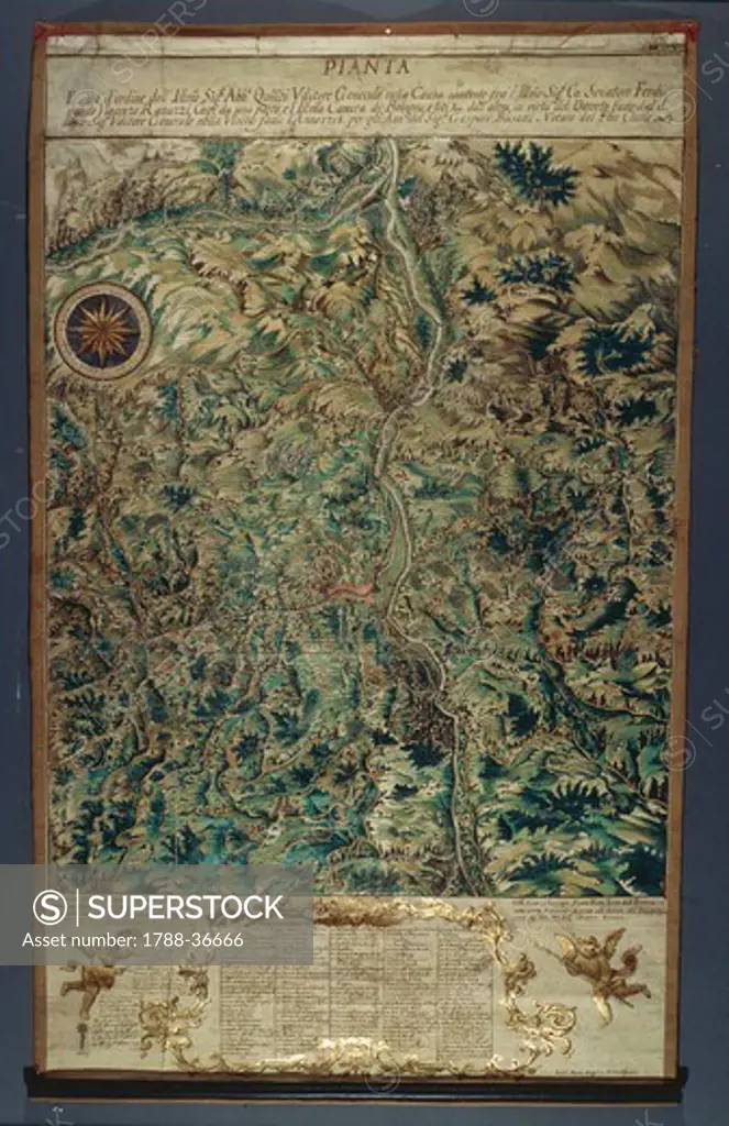
SuperStock offers millions of photos, videos, and stock assets to creatives around the world. This image of Cartography, Italy, 18th century. Topographic map of Porretta County, a Ranuzzi fiefdom, 1720. Mixed media on paper. 60 x 120 cm. by DeAgostini/DeAgostini is available for licensing today.
DETAILS
Image Number: 1788-36666Rights ManagedCredit Line:SuperStock / DeAgostini/DeAgostiniCollection: DeAgostini Contributor: DeAgostini Model Release:NoProperty Release:NoResolution:3464×5347
Free Research
Can't find the usage you need?
We're here to help!
Phone: +1 866 236 0087
Email: help@superstock.com
Research / License Request Form
Can't find the usage you need?
We're here to help!
Phone: +1 866 236 0087
Email: help@superstock.com
Research / License Request Form
Retouching Services
Our MediaMagnet division offers comprehensive retouching services at great rates. For a free quote, please send us an e-mail and we'll get back to you promptly.
Email: Retouching Service
Our MediaMagnet division offers comprehensive retouching services at great rates. For a free quote, please send us an e-mail and we'll get back to you promptly.
Email: Retouching Service