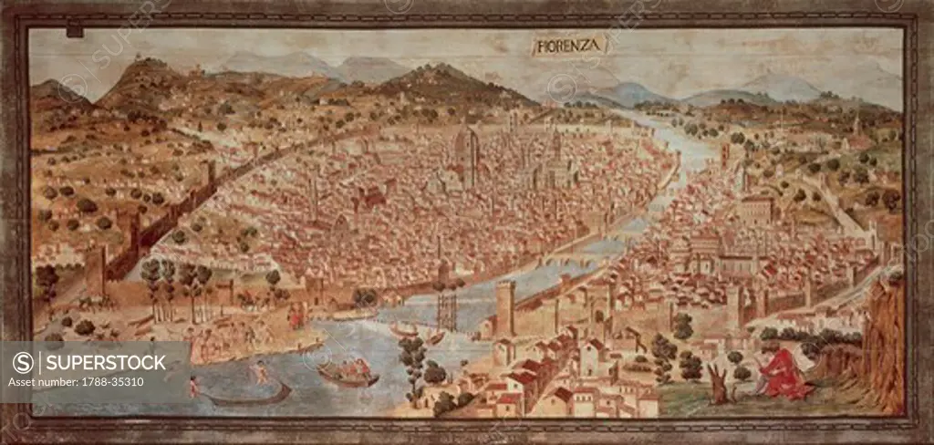
Cartography, Italy, 15th century. Map of Florence known as The Della Catena Map of Florence. Attributed to Francesco di Lorenzo Rosselli, 1470.
SuperStock offers millions of photos, videos, and stock assets to creatives around the world. This image of Cartography, Italy, 15th century. Map of Florence known as The Della Catena Map of Florence. Attributed to Francesco di Lorenzo Rosselli, 1470. by DeAgostini is available for licensing today.
DETAILS
Image Number: 1788-35310Rights ManagedCredit Line:SuperStock / DeAgostiniCollection: DeAgostini Model Release:NoProperty Release:NoResolution:5196×2493
Free Research
Can't find the usage you need?
We're here to help!
Phone: +1 866 236 0087
Email: help@superstock.com
Research / License Request Form
Can't find the usage you need?
We're here to help!
Phone: +1 866 236 0087
Email: help@superstock.com
Research / License Request Form
Retouching Services
Our MediaMagnet division offers comprehensive retouching services at great rates. For a free quote, please send us an e-mail and we'll get back to you promptly.
Email: Retouching Service
Our MediaMagnet division offers comprehensive retouching services at great rates. For a free quote, please send us an e-mail and we'll get back to you promptly.
Email: Retouching Service