Roman Civilization. Map of Roman Britain (Britannia) with the Wall of Hadrian (built in 122-126), extending from Wallsend to the shore of Solway Frith and the Wall of Antoninus (142-144) extending from the Firth of Forth to the Firth of Clyde. Artwork
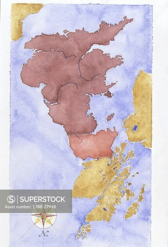
SuperStock offers millions of photos, videos, and stock assets to creatives around the world. This image of Roman Civilization. Map of Roman Britain (Britannia) with the Wall of Hadrian (built in 122-126), extending from Wallsend to the shore of Solway Frith and the Wall of Antoninus (142-144) extending from the Firth of Forth to the Firth of Clyde. Artwork by DeAgostini is available for licensing today.
DETAILS
Image Number: 1788-27948Rights ManagedCredit Line:SuperStock / DeAgostiniCollection: DeAgostini Model Release:NoProperty Release:NoResolution:2474×3620
Free Research
Can't find the usage you need?
We're here to help!
Phone: +1 866 236 0087
Email: help@superstock.com
Research / License Request Form
Can't find the usage you need?
We're here to help!
Phone: +1 866 236 0087
Email: help@superstock.com
Research / License Request Form
Retouching Services
Our MediaMagnet division offers comprehensive retouching services at great rates. For a free quote, please send us an e-mail and we'll get back to you promptly.
Email: Retouching Service
Our MediaMagnet division offers comprehensive retouching services at great rates. For a free quote, please send us an e-mail and we'll get back to you promptly.
Email: Retouching Service