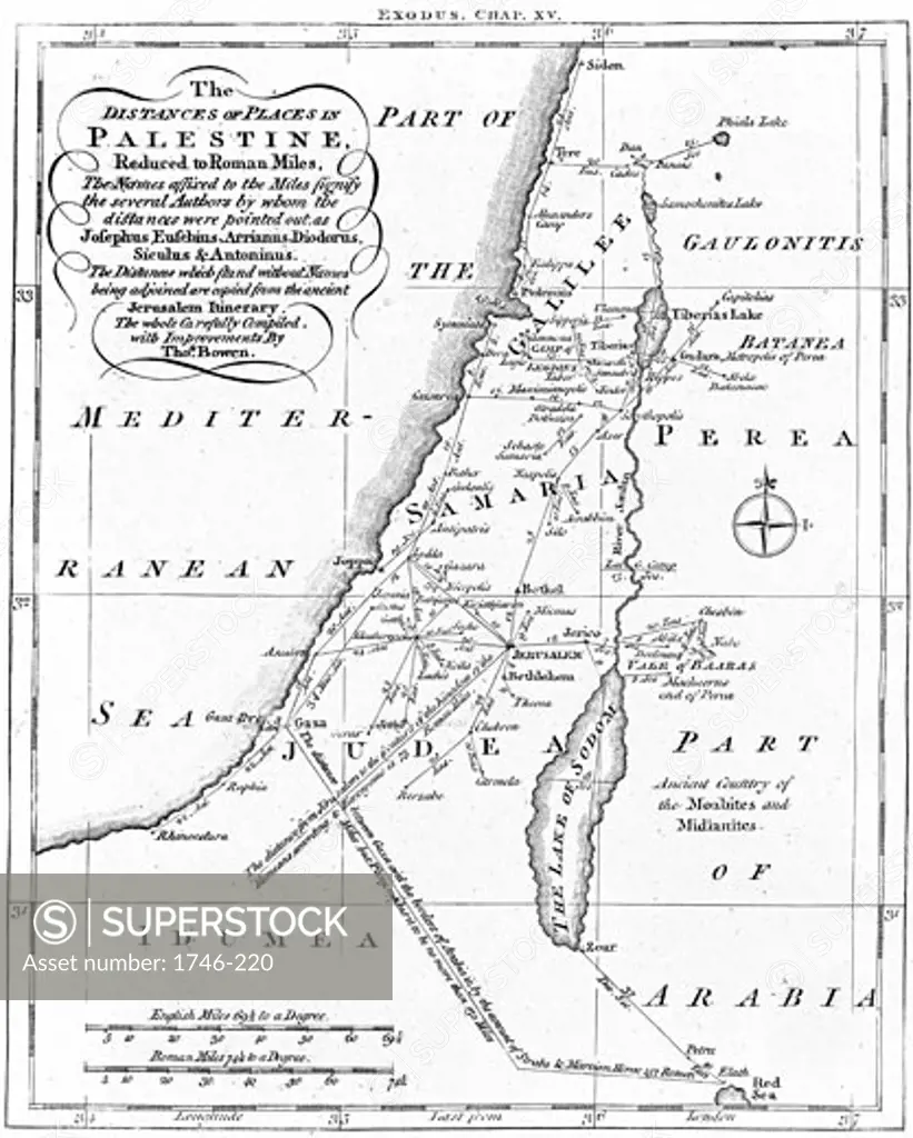
Map of Palestine showing distances in Roman miles. Based on various ancient authors and the Jerusalem Itinerary, c.1830, Engraving
SuperStock offers millions of photos, videos, and stock assets to creatives around the world. This image of Map of Palestine showing distances in Roman miles. Based on various ancient authors and the Jerusalem Itinerary, c.1830, Engraving by Image Asset Management is available for licensing today.
DETAILS
Image Number: 1746-220Rights ManagedCredit Line:SuperStock / Image Asset ManagementCollection: Image Asset Management Model Release:NoProperty Release:NoResolution:3745×4671
Free Research
Can't find the usage you need?
We're here to help!
Phone: +1 866 236 0087
Email: help@superstock.com
Research / License Request Form
Can't find the usage you need?
We're here to help!
Phone: +1 866 236 0087
Email: help@superstock.com
Research / License Request Form
Retouching Services
Our MediaMagnet division offers comprehensive retouching services at great rates. For a free quote, please send us an e-mail and we'll get back to you promptly.
Email: Retouching Service
Our MediaMagnet division offers comprehensive retouching services at great rates. For a free quote, please send us an e-mail and we'll get back to you promptly.
Email: Retouching Service